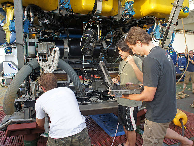
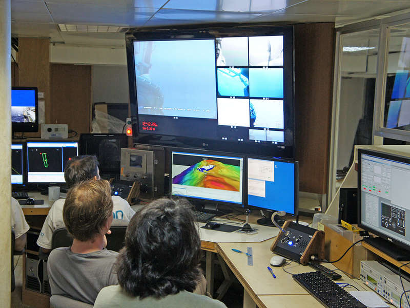
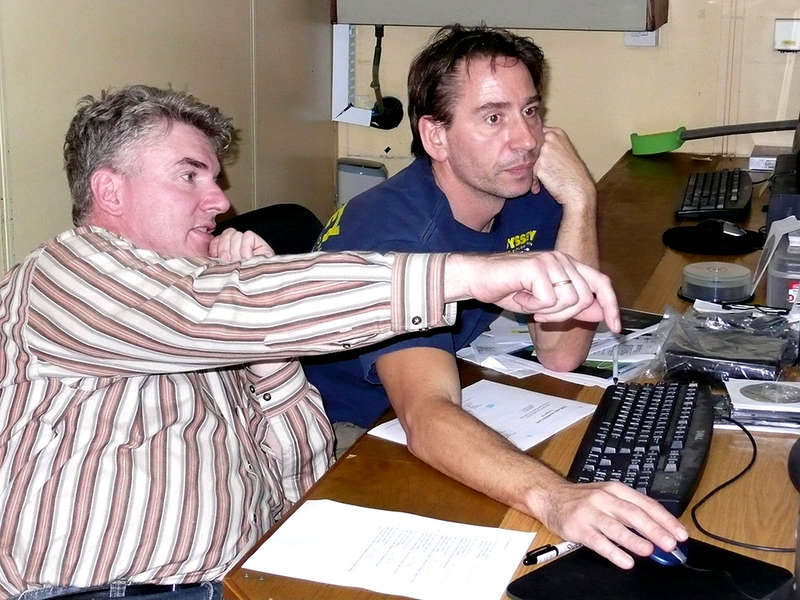
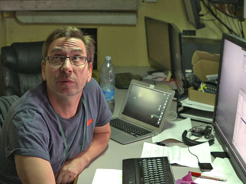
... if you are executing or planning field surveys or expeditions and need someone experienced, versatile and reliable taking care of your data. This includes active involvement in field work and data processing, as well as the definition, implementation and documentation of the data management system.
You should hire me ...
  
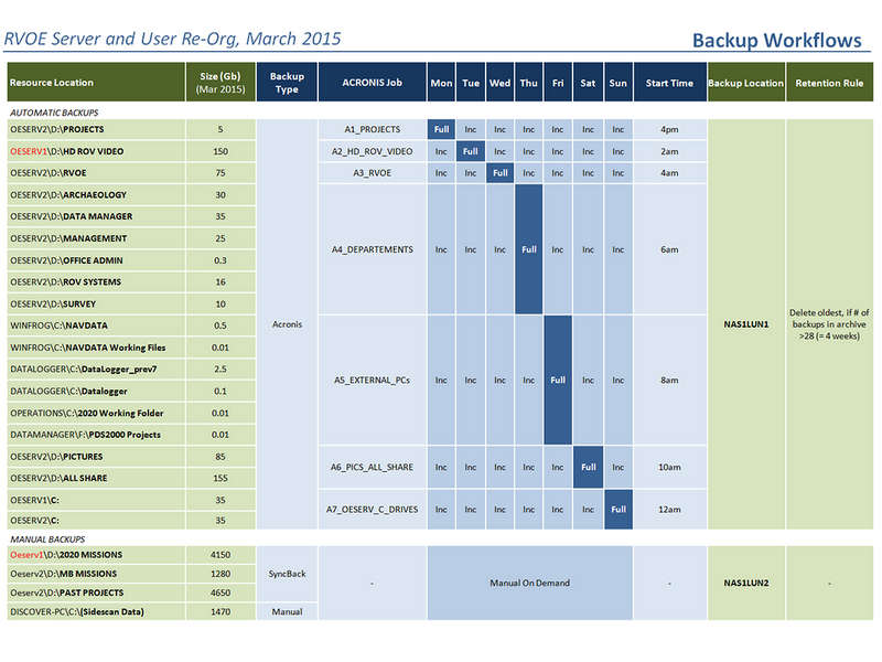
... if your existing data pool is huge and valuable, but its disorder is driving you nuts. Confusing hierarchies, misleading file names - no one finds anything in reasonable time. And you realize: Someone needs to clean up.
Any context
From scientific to commercial - the essence of data is information is knowledge  is universal.


See "About Me" for background.
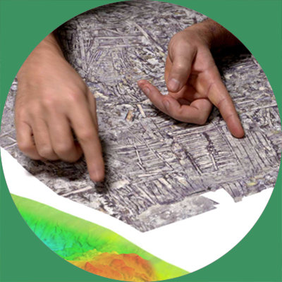
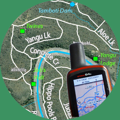
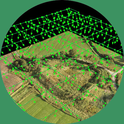
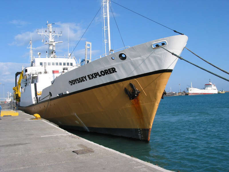
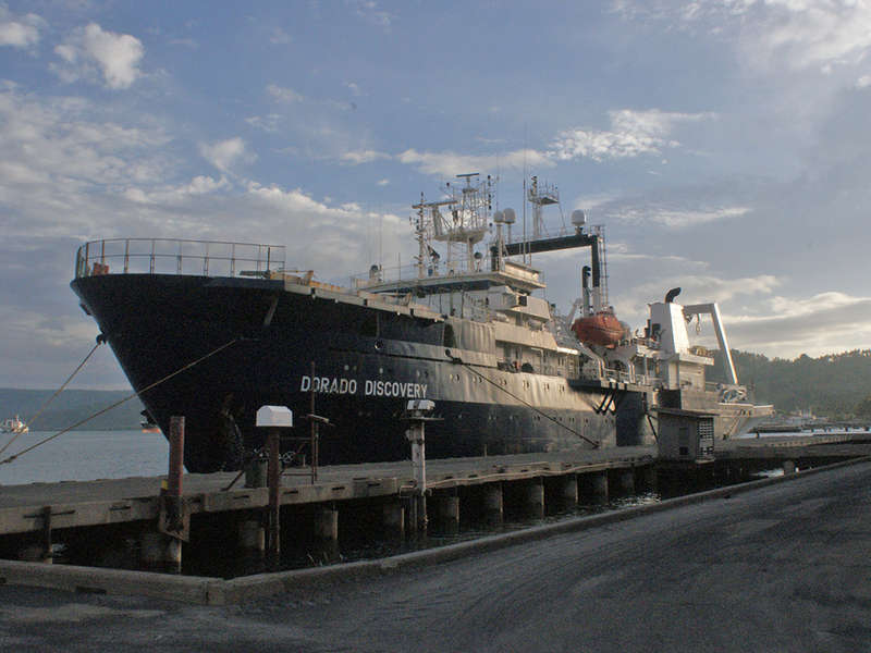
Any environment
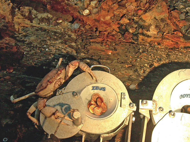
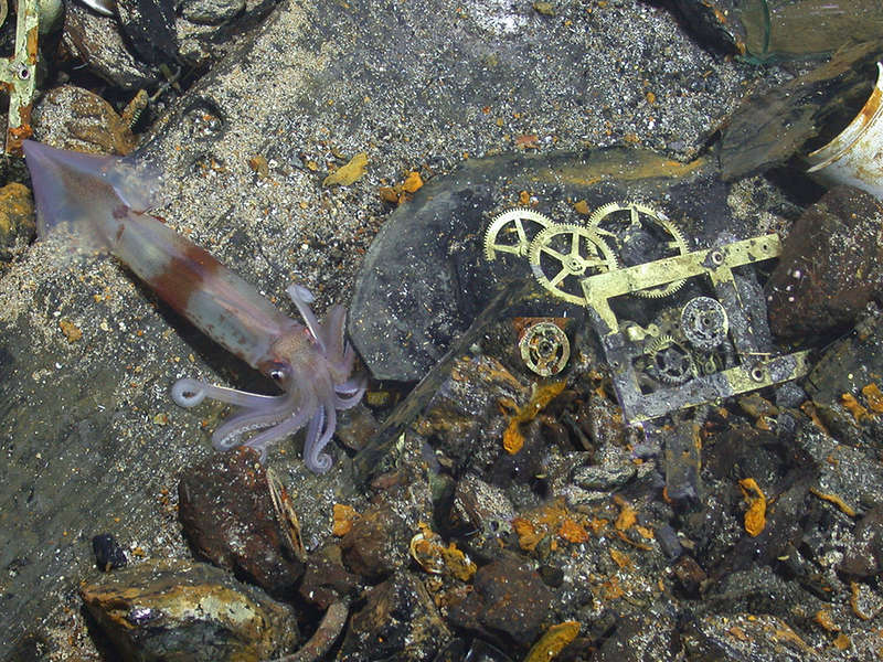
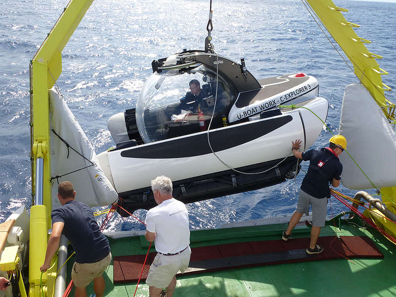
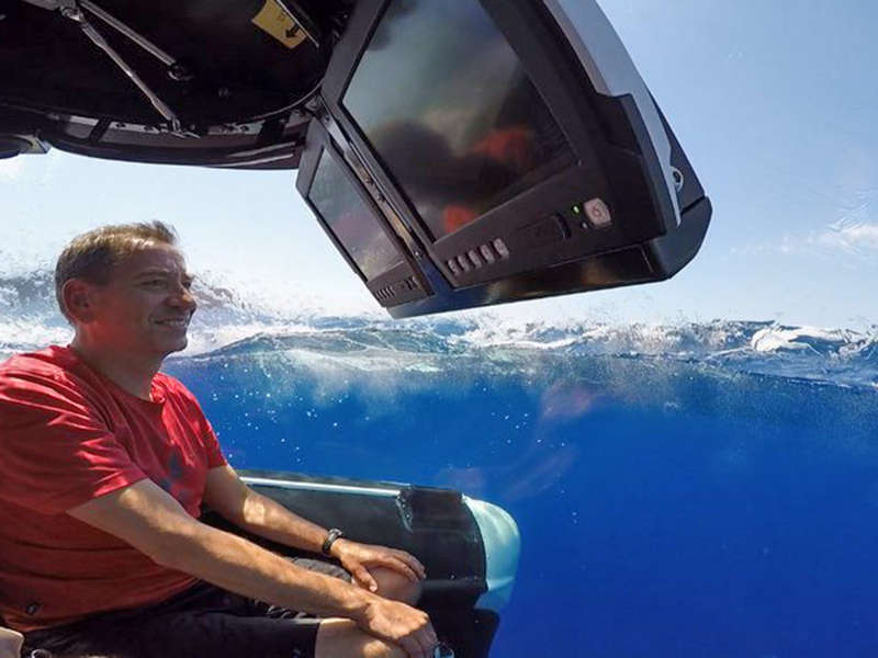
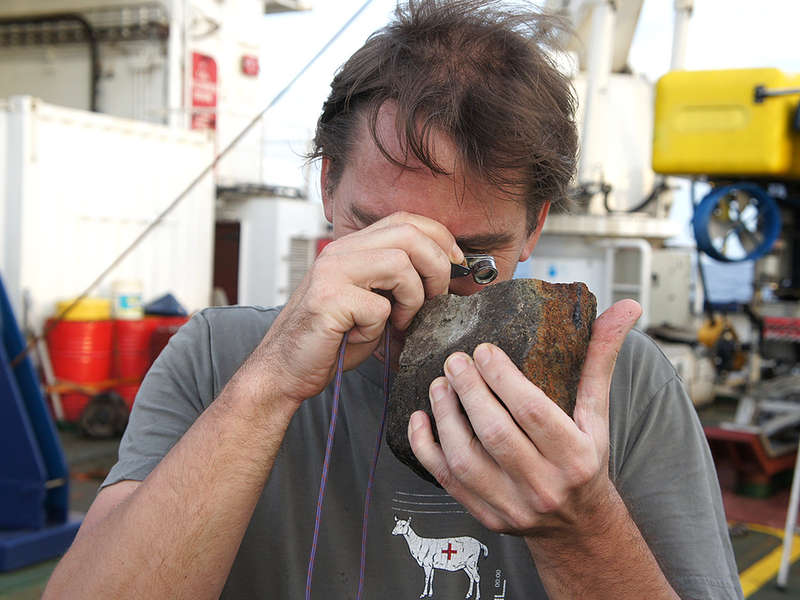
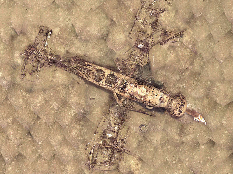
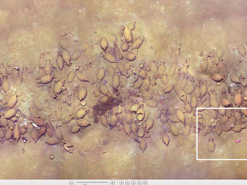
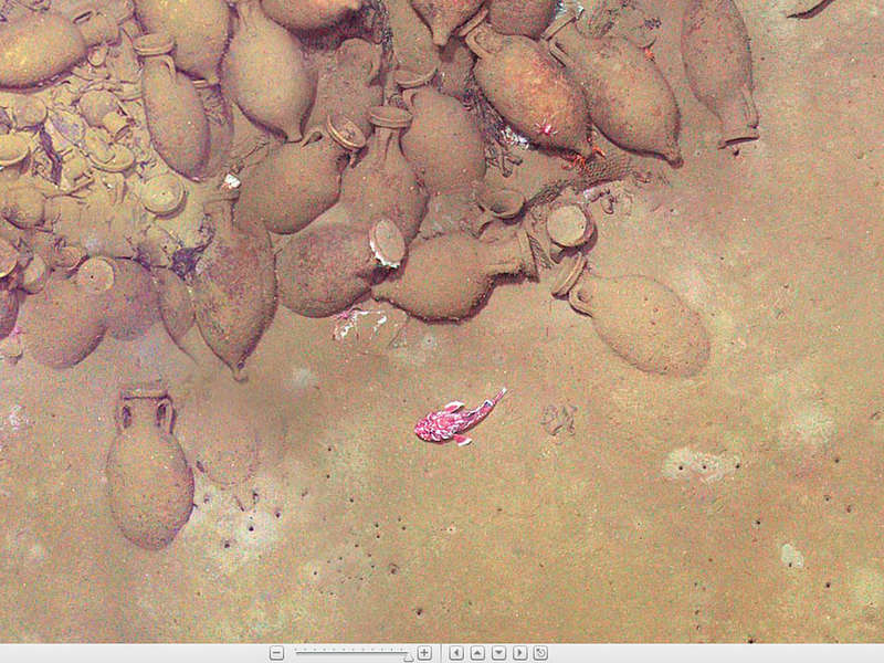
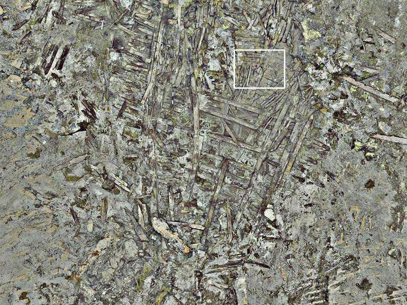
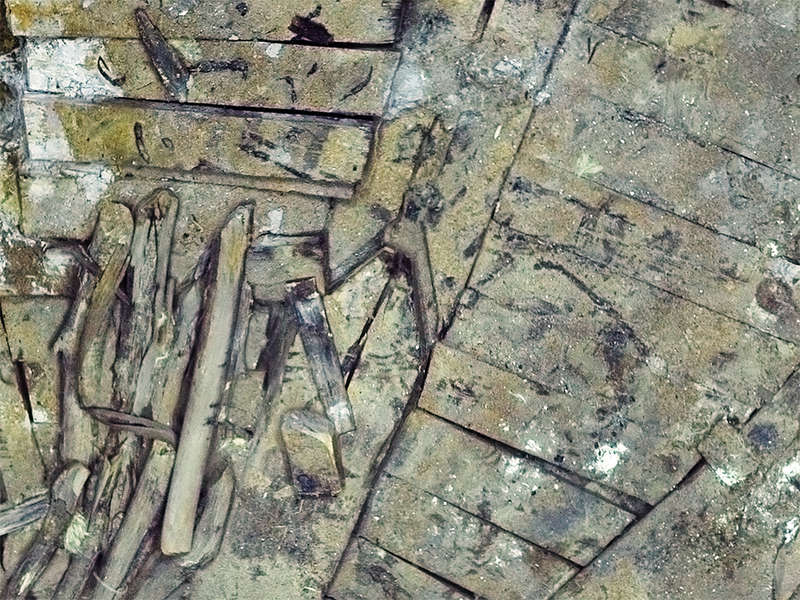
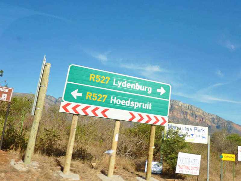
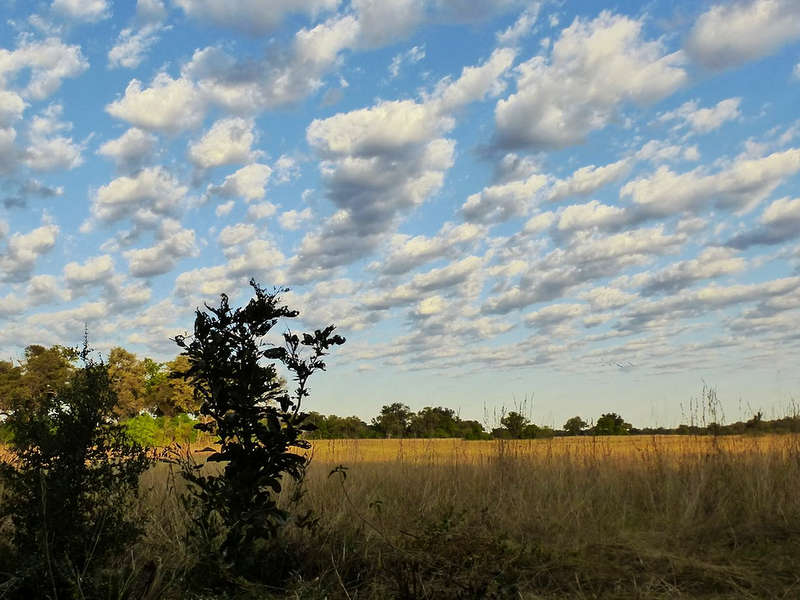
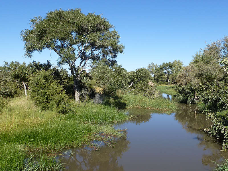
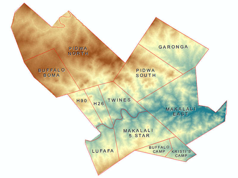
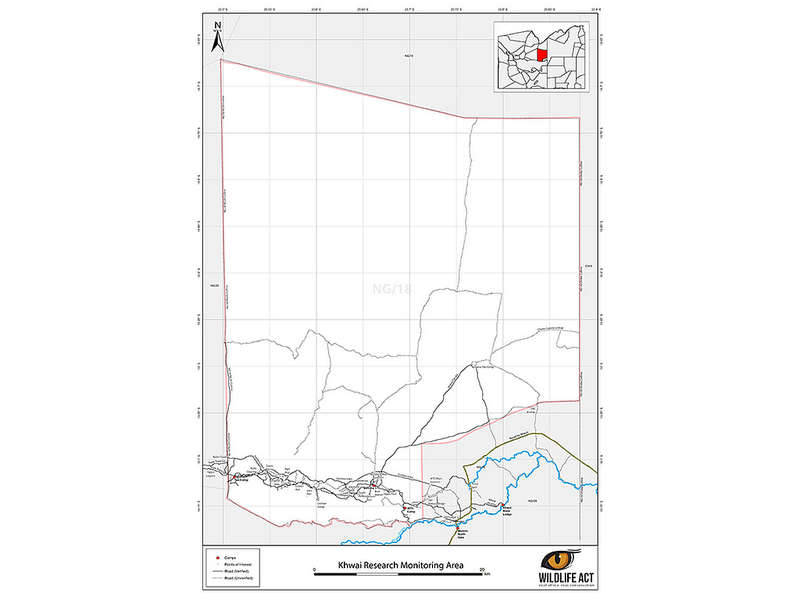
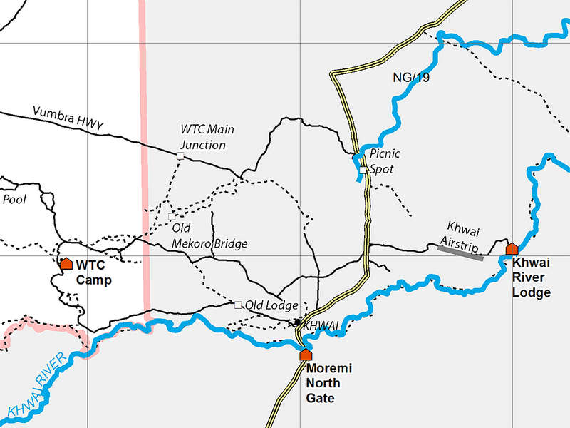
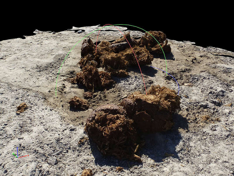
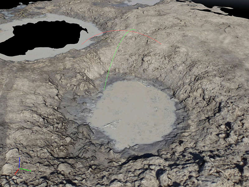
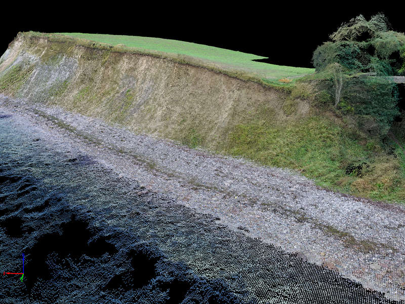
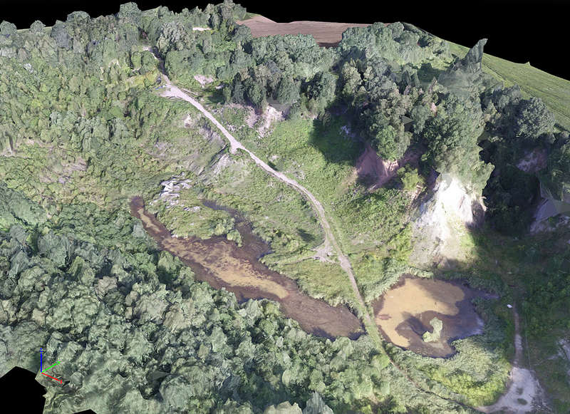
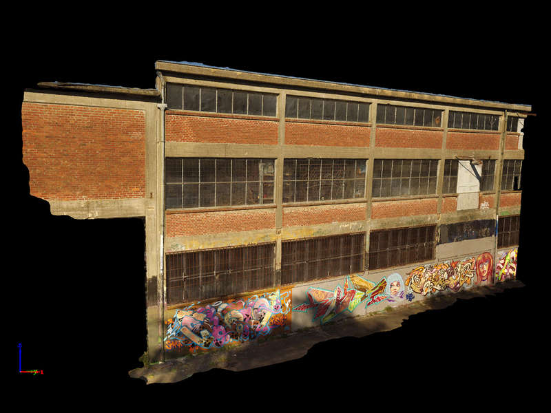
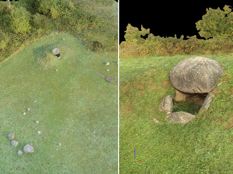
Offshore or onshore, on Alpine mountain tops or in the South African veldt, in the field and in front of the monitor.

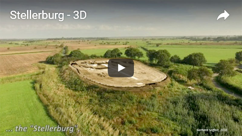
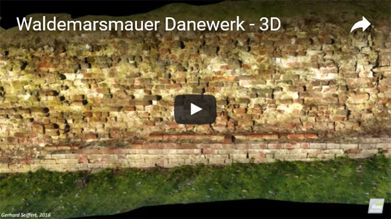
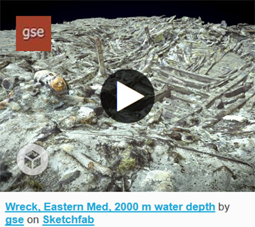
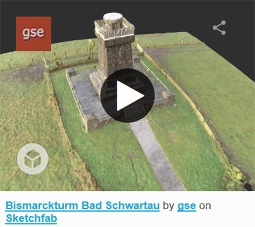
See "Projects" for references.
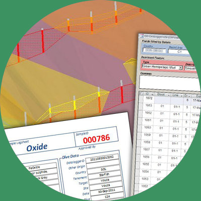
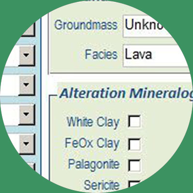
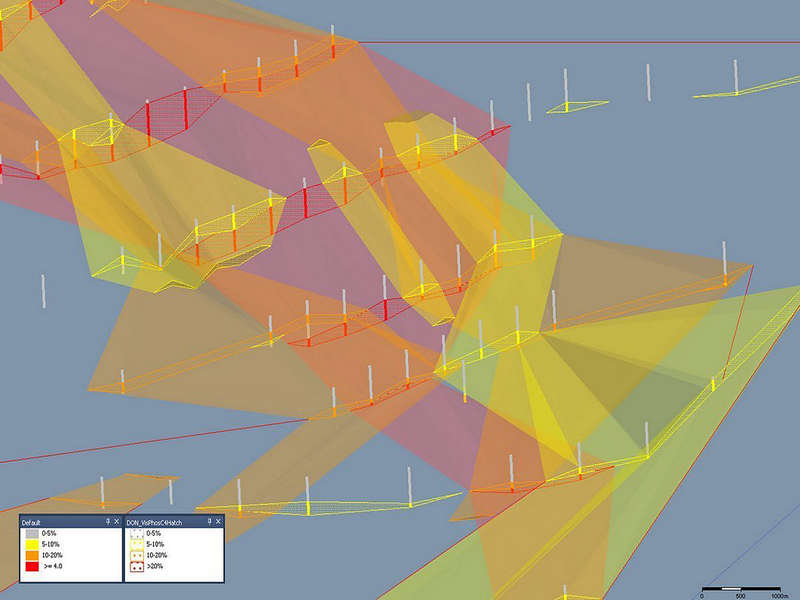
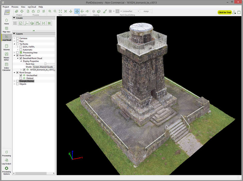
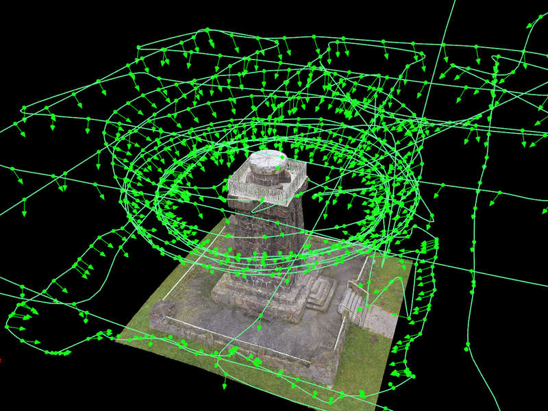
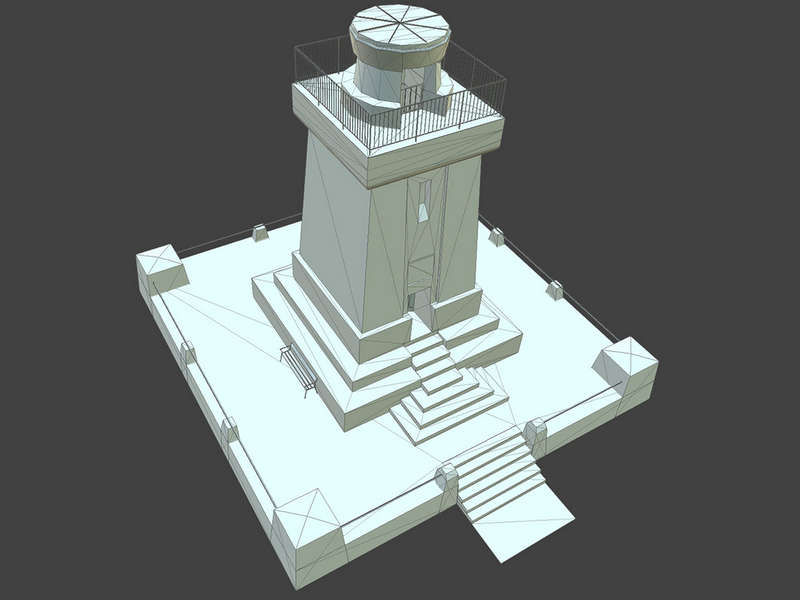
Unique set of tools
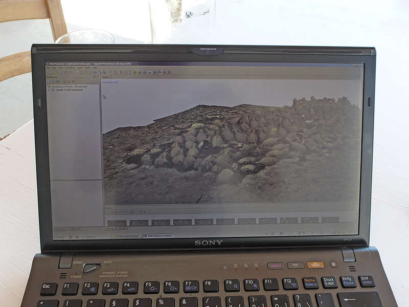
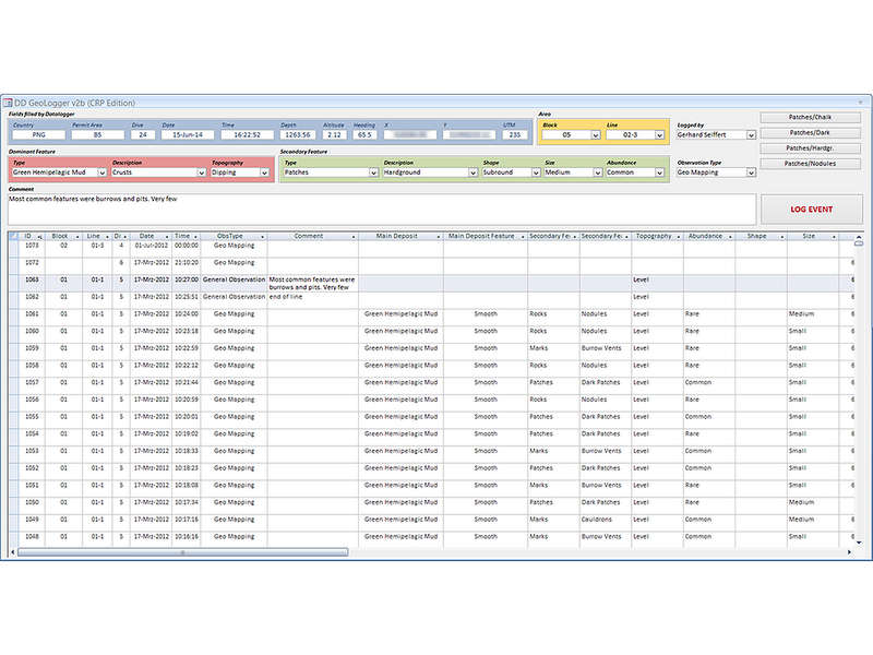
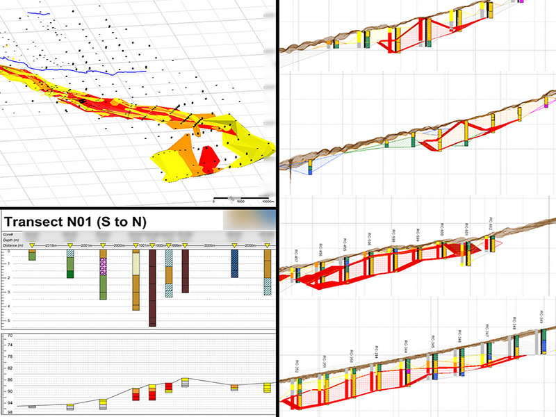
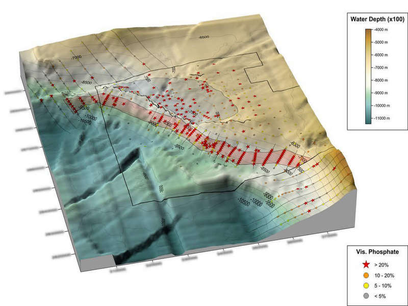
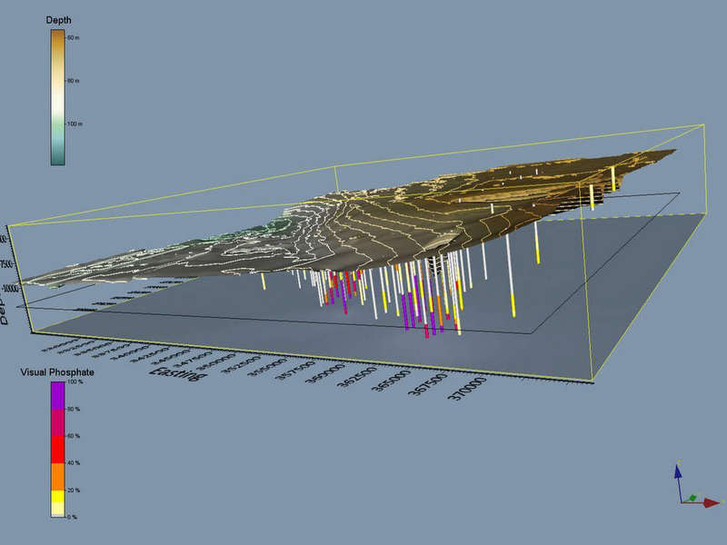
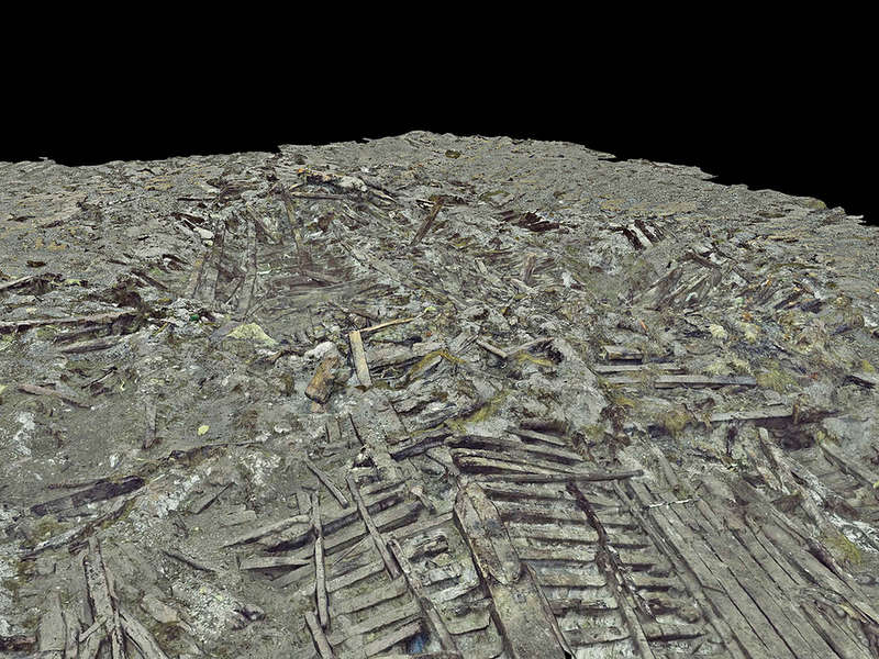
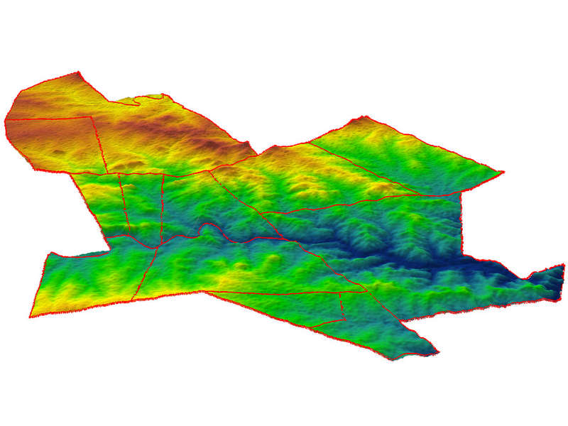
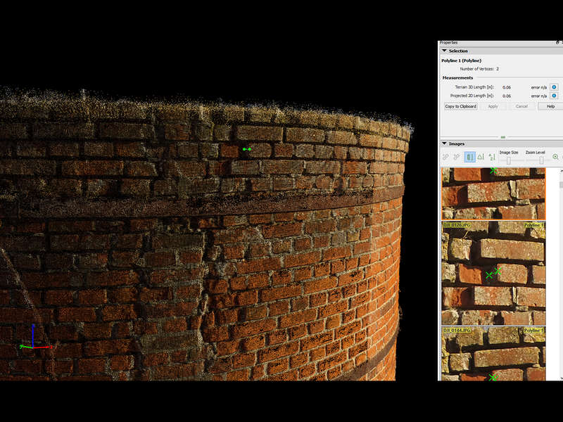
GIS, database, 2D/3D visualization, environmental mapping. Experience in information design and project management.

See "Services" for details.
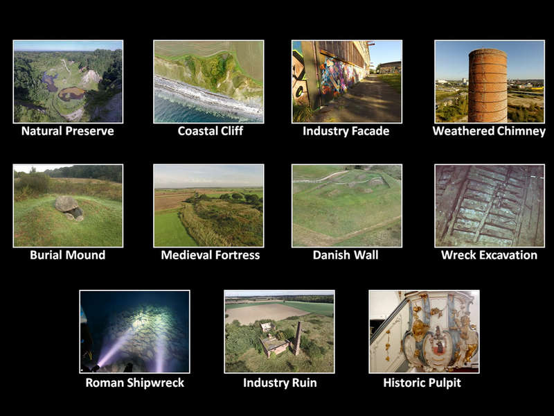
Who are "you"?
Whether you represent a private research company or a global organization (UN, WHO, WWF, etc.), a local NGO or an academic institution ...

... whether your background is
environmental protection, geology, health, construction, wildlife conservation, development aid or tourism ...

... I believe I could contribute in all cases by passion, skills and experiences.
Do you need any of my services, have a question or comment? Please feel free to call or send me an email. I aim to reply within 24 hours.


mail@gseiffert.com

Gerhard Seiffert
Lindenallee 38
20259 Hamburg
Germany
+49 (0) 151 539 55 107
Contact
Projects
Welcome to the „Geodata Management / Offshore“ slideshow
Geodata Management / Offshore
Welcome to the „2D/3D Visualization“ photo gallery and - back to photomosaics ...
2D/3D Visualizations
Field Mapping / UAV Surveys
Welcome to the “Field Mapping / UAV Survey” photo gallery
Photo Galleries (click thumbnails)
Videos
(linked to my Youtube page)
Presentation of 11 photogrammetry projects I realized since 2015. The examples cover the fields of environmental protection, geology, archaeology, architecture and art & restoration, demonstrating the usefulness of photogrammetry and UAVs. The intro slide, btw., shows a 3D model of a historic pulpit from the 14th century. Image capturing by UAV, ROV, manned sub and by handheld pocket camera.
High-resolution 3D model of a 66 m wide, exposed section of the “Waldemars Wall” near Danewerk/Germany. Built 860 years ago by Waldemar I, King of Denmark, and over 4 km long. Biggest and oldest brick construction in N Europe.
Surveyed by UAV and rendered in 3D: Remains of a medieval fortress in Northern Germany (900 AD). The resolution (GSD) of the model, the ortho-photo and the DEM is better than 2.5 cm.
3D Models
(more on my Sketchfab profile)
  
Services
On- and Offshore services. Implementation or optimization of data management systems (file and folder structures, naming conventions, SOP's, innovation). Data acquisition strategy and  field work. Data processing (GIS, databases, remote sensing). Analyis, reports, presentations. Data safety and quality management.
ArcGIS 10+, QGIS 2+
Pix4D, Agisoft Photoscan
MS Access, MS Office
Advanced VBA Coding
Surfer 13, Voxler 13
Sentinel-1/2/3 Toolbox (SNAP)
Adobe Photoshop & InDesign
QuarkXPress
Various video editing tools
etc.
GEODATA MANAGEMENT
2D/3D VISUALIZATIONS
Advanced map production (GIS), rich media presentations (PPT), charts & info graphics. High-res orthophotomosaics (with 15,000+ images), high-res 3D terrain or object modelling (e.g. with images taken by UAV), processing of satellite raster imagery (analysis, reclassifications, etc.).
FIELD MAPPING
Terrestrial and seafloor mapping project experience. On land: GPS and UAV based cartography. Project experience in the Alps, South Africa, Ethiopia (with Frankfurt Zoologische Gesellschaft) and Botswana. Derived products include print (from wall posters to indexed booklets) and digital, e.g. routable maps for Garmin GPS handheld devices.
UAV SURVEYS
Various pro-bono projects between 2015 and 2017. Studying and demonstrating the usefulness of drones in different fields (environmental protection, archaeology, geology, architecture, art & restoration). See PROJECTS or my Sketchfab profile for references, ranging from coastal cliffs to industry facades and historic pulpits.
My portfolio includes websites (clients include Financial Times Deutschland, Astra Zeneca or Deutsche Bank), scientific data logger, or ad-hoc, on-site production of MS Access applications for data entry, editing, or reporting (e.g. geological sample or archaeological artifact inventories). Authoring of functional specifications and production management.
APPLICATION DESIGN
SOFTWARE
CURRENT SELF-STUDY
Remote Sensing
R
Python / ArcPy


Offshore Exploration
Shipboard Data Manager for Odyssey Marine Exploration, an internationally renowned US company. Focus on shipwreck and marine minerals research.
Since
2003

New Media / Internet
Concept development, consulting, production and project management. Contracted or employed by market leaders and international media companies like Bertelsmann AG, Axel Springer Verlag and Pixelpark AG.  Working for notable brands from different industries like AstraZeneca, Deutsche Bank or Financial Times Germany. Co-Founder of 2 start-ups.
2003
1995

Geology
PhD at Christian-Albrechts-University Kiel, Germany. Focus on Marine Geology. Regular participant of terrestrial and marine expeditions. Research diver.
1994
1990
Geoscientist - Web Consultant - Wreck Explorer

The unique mix of three successful careers empowers me to offer cross-industry and cross-technology information and geodata management. As the catalyst between technicians, scientists and management, my goal is to extract the relevant information from the data "noise" and to enable faster and better decision making by my clients.

Since
2017
Information and Geodata Management
One-of-a-kind combination of skills, merging science with IT and design, and an in-depth comprehension of related business needs. Years of global project work provided me with a multicultural background and an international mindset.
Full CV including detailed project list for download here

Mapping / Wildlife Conservation
Various pro-bono projects in Africa between 2010 and 2016. Mapping of protected areas in South Africa (with Siyafunda Conservation), Ethiopia (with Frankfurt Zoological Society) and Botswana (with Wildlife ACT).
UAV (Drone) Mapping
Various pro-bono projects between 2015 and 2017. Studying (demonstrating) the usefulness of drones in different fields (environmental protection, archaeology, geology, architecture, art & restoration).
About Me
  
On-
going
Gerhard Seiffert, PhD

Cross-Industry, Cross-Technology:
Information and Geodata Management, On- and Offshore
© 2018 Gerhard Seiffert